Tune in to hear about the D Line Subway Extension Project Beverly Hills Stations.
Online
Webinar Event
Free
Extends subway service west along Wilshire Blvd in three sections to improve travel between central Los Angeles and the Westside. The project improves access to jobs, schools, medical centers, and cultural destinations while providing a faster, more reliable alternative to driving.
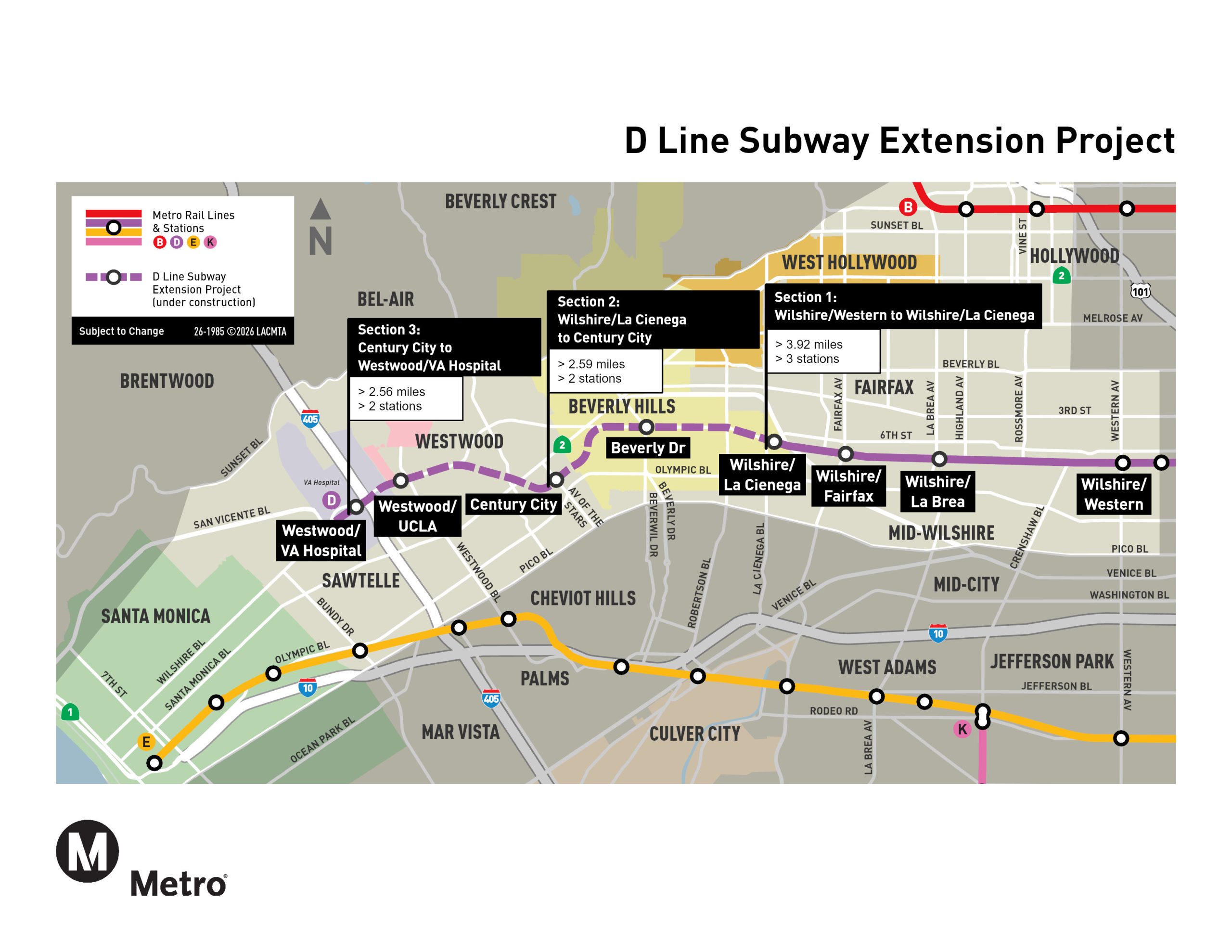
The Metro D Line Subway Extension expands the existing subway west from Wilshire/Western in Koreatown nearly nine miles along Wilshire Blvd to Westwood. The project is delivered in three sections that together improve access, reduce travel time, and strengthen connections between some of Los Angeles’ most active job, education, medical, and cultural centers.
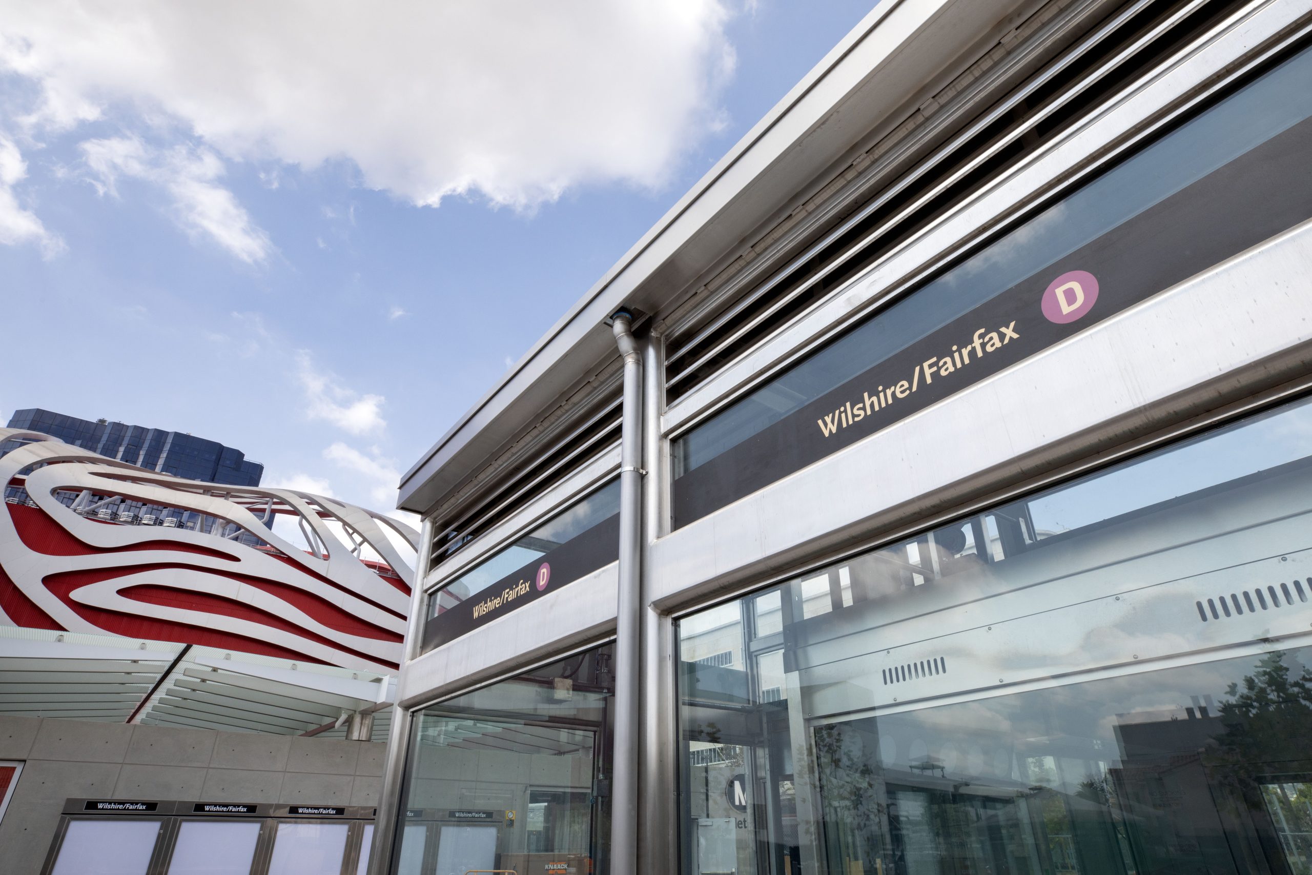
Section 1 extends the subway from Koreatown to the Wilshire/La Cienega area, serving the Miracle Mile and surrounding neighborhoods. This Opened on May 8, 2026.
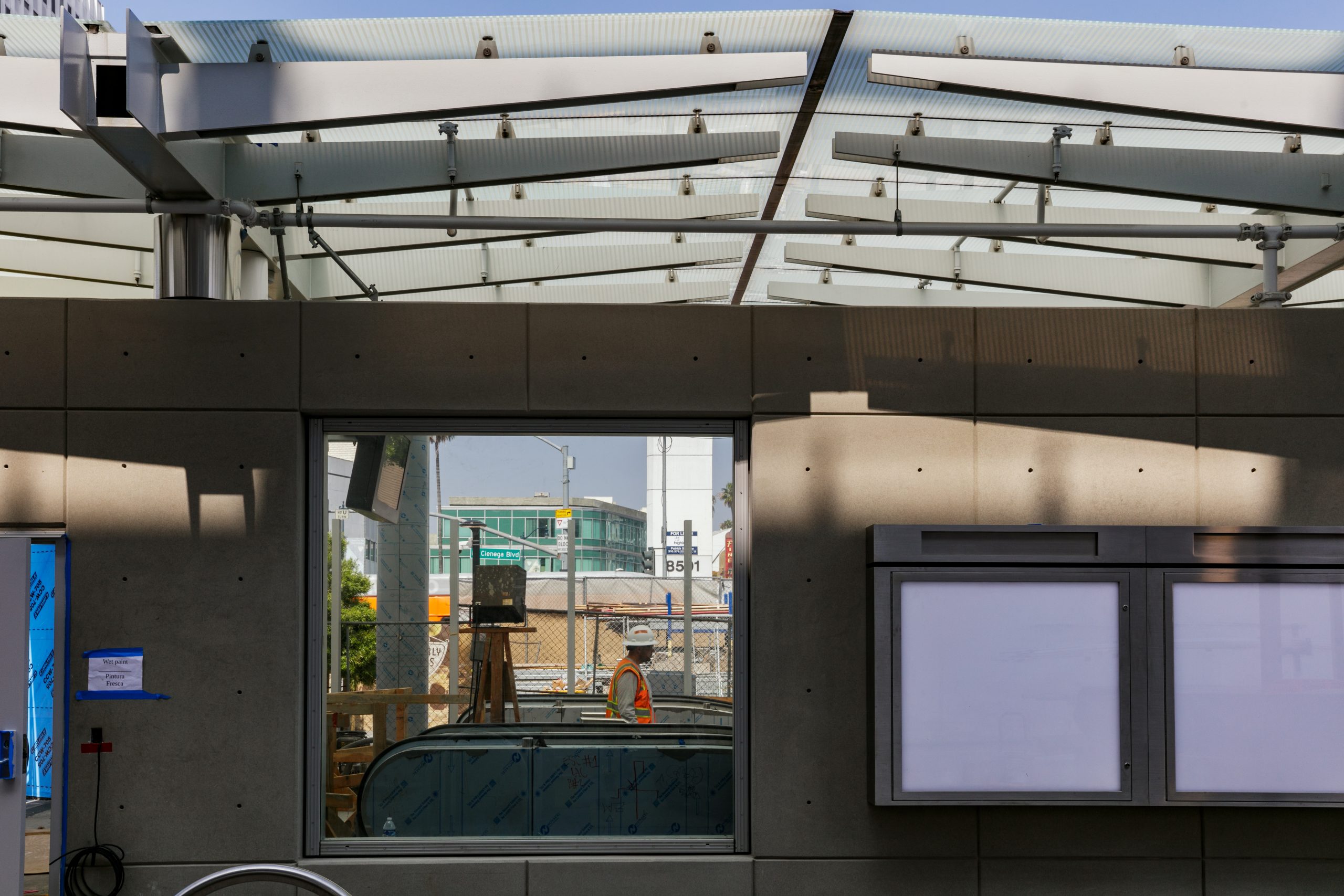
Section 2 continues west through Beverly Hills and Century City, connecting major employment centers and regional destinations. Section 3 extends the line to Westwood, improving access to UCLA, major medical facilities, and the Westside.
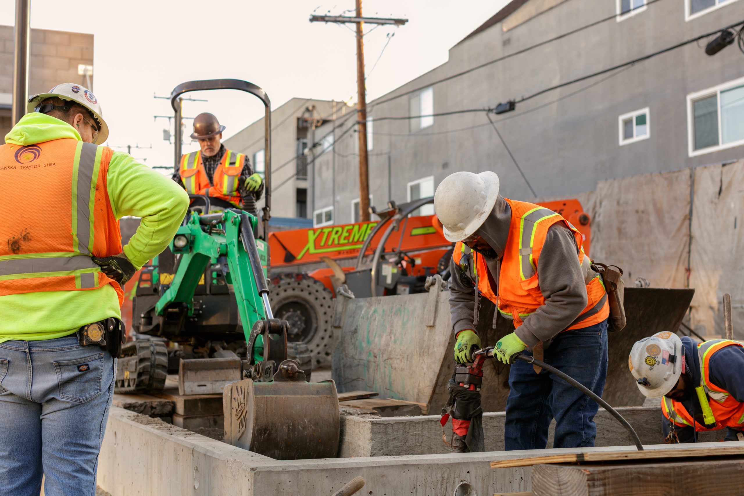
Across all three sections, the project creates a reliable, high-capacity transit option that improves mobility along the Wilshire Corridor, one of the most heavily traveled routes in the region. The extension supports faster, more predictable trips, improves connections to the broader Metro Rail system, and provides a convenient alternative to driving. By expanding subway service through dense, high-demand areas, the project improves access to opportunity and supports more sustainable travel choices for residents, workers, and visitors.
Help shape this project for good. We want to hear from you:
Have a question or need more information about the D Line Extension? The project team is here to help. Contact us by phone or email to get in touch with staff and receive timely updates.
Sign up for project updates to get construction notices, meeting invitations, and milestone announcements delivered to your inbox.